Watching the Wild: Community Science, Cameras, and AI in the Sky Islands
A FotoFauna Photo Essay by MJ Watz
https://www.pima.gov/1387/Volunteer-with-Conservation-Lands-and-Re
A Network Built on Curiosity
The Sky Island Alliance FotoFauna project, with support from the Pima County Conservation Lands and Resources Department, is built on the idea that communities can document and identify the wildlife around them, and that this process is valuable both for the individuals and for science.
Since 2020, volunteers across the U.S.-Mexico borderlands have contributed thousands of wildlife checklists, creating a shared dataset of nearly 9,500 monthly records. Each checklist captures, for a given month and camera location, the presence or absence of 43 species (plus other birds, rodents, and reptiles) at a single camera location, turning individual observations into a regional picture of biodiversity.
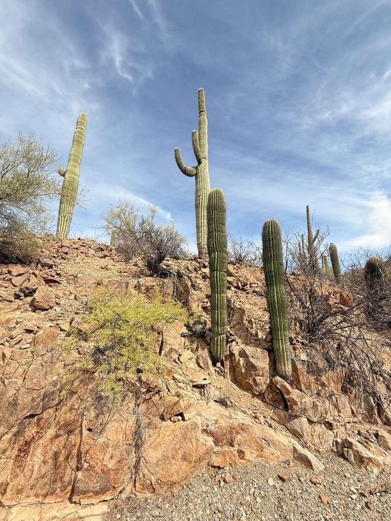
From Tucson, Arizona, to Hermosillo, Mexico, this network transforms curiosity into data, and data into conservation.

Collaboration in the Field
This work is collaborative by design. Volunteers don’t just collect data; they learn from each other, coordinate across sites, and build consistency into the process.
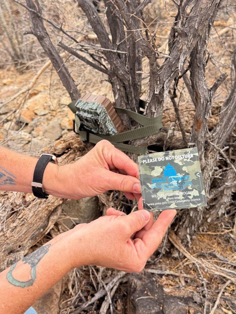
Working with Community Science Volunteer Megan Fujawa through Pima County Conservation Lands and Resources, I stepped into a system where knowledge is shared openly: how to place cameras, how to avoid disturbing habitats, how to leave no trace, and how to move through the landscape with care.
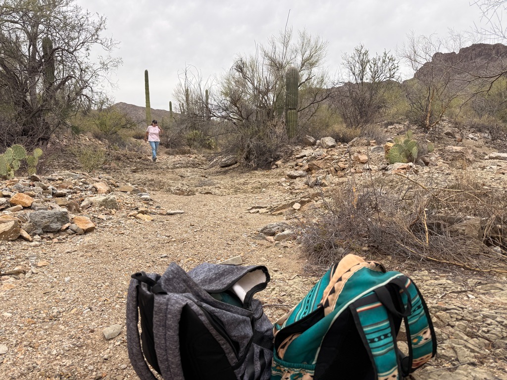
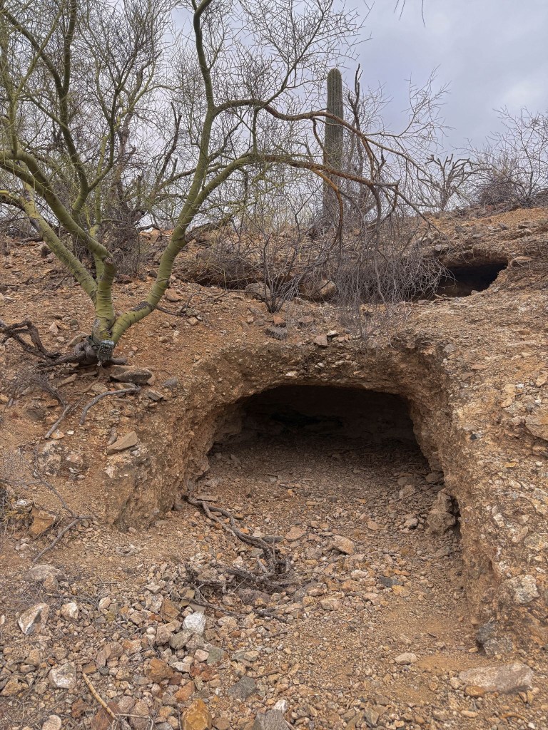
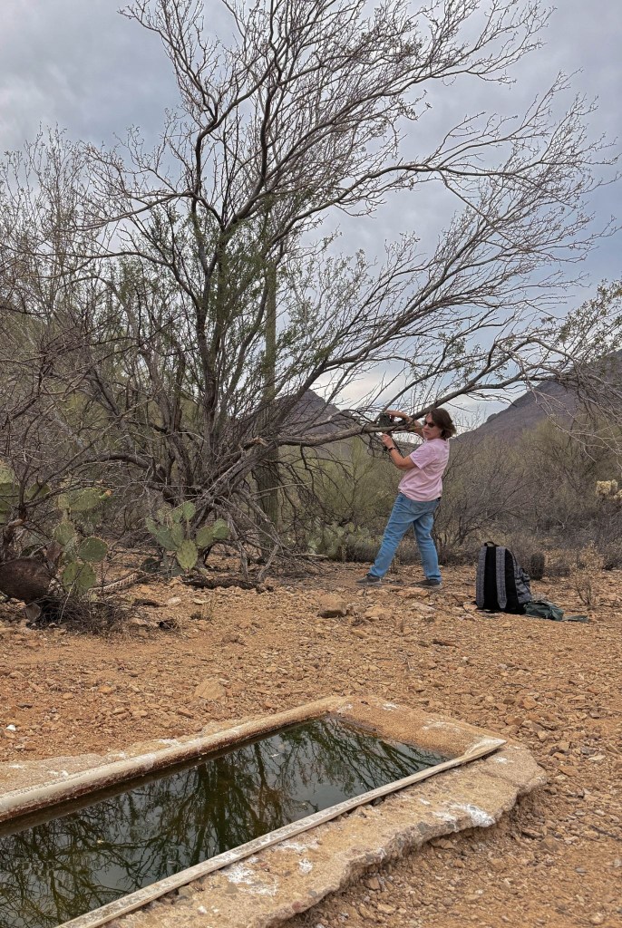
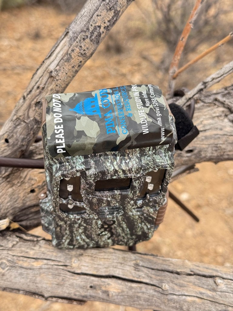
Servicing the Cameras
Each visit to a camera is part maintenance, part anticipation. Every memory card holds the hidden movements of our elusive wildlife.
We locate the camera, check its positioning, and retrieve the card. The process is methodical, with a sense of suspense, as we check the battery levels, angles, and environmental conditions.
Each identification that will later be submitted depends on this being done correctly.
The Reveal
Back at a computer, the creatures begin to reveal themselves.
White-tailed deer, coyotes, javelina, gray fox, and bobcats are some of the more commonly recorded species. Other sightings are far more rare, such as the jaguar, mountain lion, and ocelot. To protect ocelots and jaguars, Sky Island Alliance does not display their records of these cats in public charts or maps.
Across the network, over five years of data have revealed patterns:
- Water sources drive higher biodiversity across the region
- The Patagonia–Huachuca borderlands are among the most diverse areas in the FotoFauna network
- In the greater Tucson area alone, cameras have documented at least 28 species, including badgers, ringtails, and all four Sky Island skunks
Each image is both a sighting and a data point in a much larger ecological story.

From Images to Data
The images are categorized by community scientists through the platform Wildlife Insights, where AI-assisted tools help accelerate the process by suggesting identifications and organizing the large datasets.
However, the human in the loop remains an essential component, and the data tagging depends on their verification. This system relies on a person looking closely and deciding: What species is this? What does this image actually show?
The technology is powerful, but it is not the core of the project. Volunteers notice patterns and recognize anomalies. They understand the terrain in ways that no model can fully, and they bring context, care, and accountability.
The cameras and AI extend human presence and speed, but they do not replace them.

Why This Work Matters
This growing dataset is more than a collection of wildlife images; it is a tool for understanding how species move, where biodiversity concentrates, and how ecosystems respond to change.
It is also a model for how individuals can participate in community science, contributing meaningful data that informs conservation decisions.
The insight that water sources, for example, consistently show higher species diversity can shape how land and resources are managed.
What begins as a camera on a tree creates a system of knowledge.
FotoFauna demonstrates that through repeated attention, structured data, and shared effort, communities can begin to see their surroundings not as empty landscapes, but as living systems in motion.

You must be logged in to post a comment.